Gaularfjellet – Driving the Scenic Route from Sunnfjord to the Sognefjord
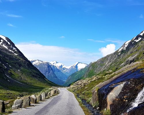
Gaularfjellet takes its time. First green valleys and quiet farms, then a long, rolling climb over the mountain. And just when you think you have seen it all, the road disappears over the edge. Below you, the valley opens up and the hairpin bends wind their way down towards the Sognefjord. This is Utsikten – and it is, without a doubt, the most spectacular moment of the whole drive.
Gaularfjellet is one of Norway’s 18 National Scenic Routes, but far from the busiest. While the crowds queue for Geiranger and Trollstigen, we hardly met another car all day.
Gaularfjellet was one of the National Scenic Routes we had never driven. We had heard so many good things about it – and now it was finally our turn to cross this mountain. And it was worth the wait.
Quick Facts: Gaularfjellet
- Route: Moskog (north of Førde) via Viksdalen and over the mountain to the Sognefjord (Fv13)
- Distance: About 84 kilometers (52 miles) from Moskog to Balestrand
- Highest point: 784 meters above sea level
- Season: The mountain section between Mel and Mjell is closed in winter – usually from November/December until spring
- Road: Asphalt, with some narrow sections and hairpin bends on the Sognefjord side
- Suitable for: Cars and motorhomes – take it slowly on the hairpin bends
- Highlights: The Utsikten viewpoint, Huldefossen waterfall, Viksdalen and the descent to the Sognefjord
- Toll: No
ESSENTIAL STOPS ON GAULARFJELLET
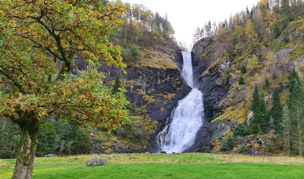
- Huldefossen: A powerful waterfall just south of the turn-off – a short walk from the parking lot.
- Viksdalen: A green farming village high up in the mountains.
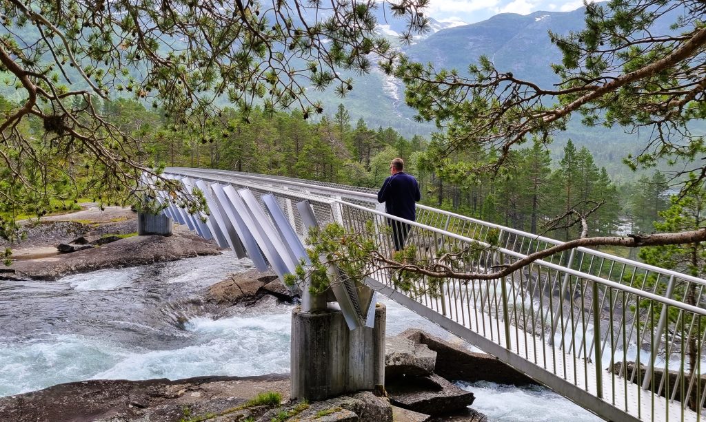
- Likholefossen: A waterfall with a footbridge built right over it.
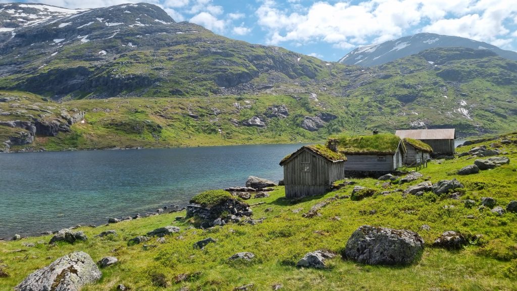
- The high mountain: Snow patches, small lakes and wide views.
- Utsikten: An award-winning architectural viewpoint on the edge of the mountain – the highlight of the drive.
- The hairpin bends: A dramatic descent to the Sognefjord.
Getting to Gaularfjellet
The Scenic Route starts at Moskog, just north of Førde. From the main road, you turn onto the county road towards Viksdalen – and from here, the road takes you all the way over the mountain and down to the Sognefjord.
Before you start the climb, make a short detour to Huldefossen. It lies right by the turn-off to the Scenic Route, just to the south. A short walk from the parking lot takes you to a roaring, powerful waterfall – well worth the stop.
Viksdalen: A Green Village in the Mountains
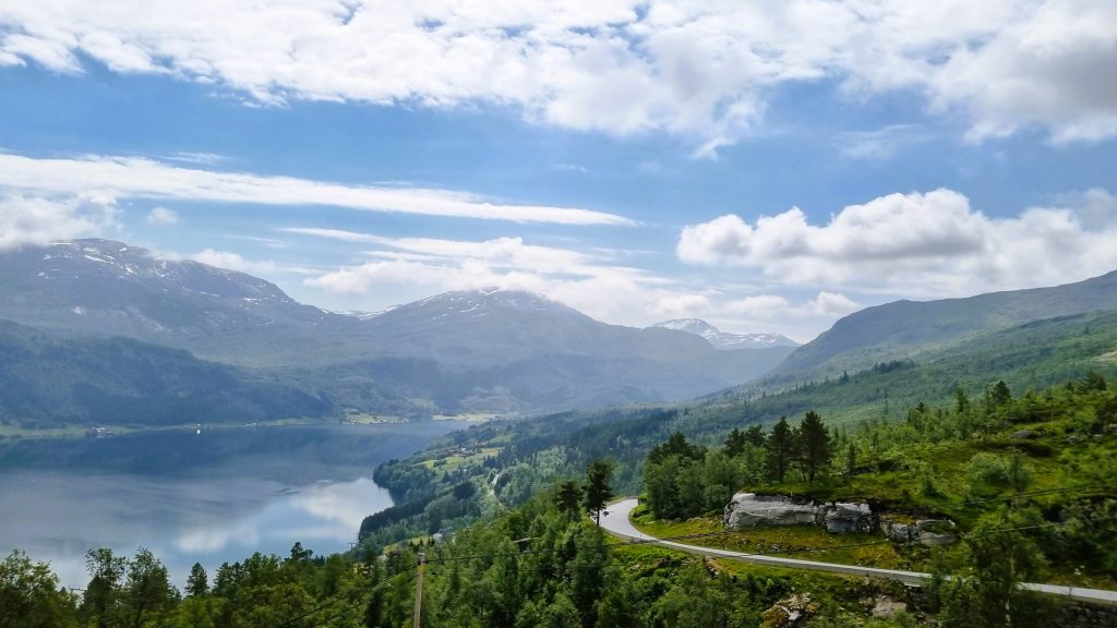
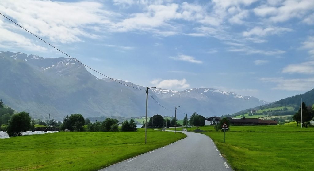
The drive starts gently. The road climbs slowly, and there are no mountains in sight yet. First, it takes you up to Holsen and down again to Viksdalen, past lush hamlets and farms at the foot of the mountains. And as if someone had planned it, the clouds broke up and the sky turned blue.
Was this all of Gaularfjellet? Nope – this was only the beginning. Viksdalen is a beautiful village tucked in between tall mountains, with wide green fields and farms that look like they have always been there. It’s the kind of place where you slow down without even noticing.
Likholefossen: Walk Over the Waterfall
Then the climb begins again, slowly but surely, towards the high mountain.
Halfway up, we stopped at Likholefossen. A footbridge has been built right over the waterfall, so you can stand above the rushing water and look straight down into it. To be honest, the waterfall itself isn’t the most impressive one we have seen in Norway – but it’s a lovely place to stretch your legs, and walking across the bridge is fun.
Tip: The Fossestien Waterfall Trail follows the Gaula river along the road for 21 km. You don’t have to walk all of it – you can easily pick out a short part for a walk.
Crossing the Mountain
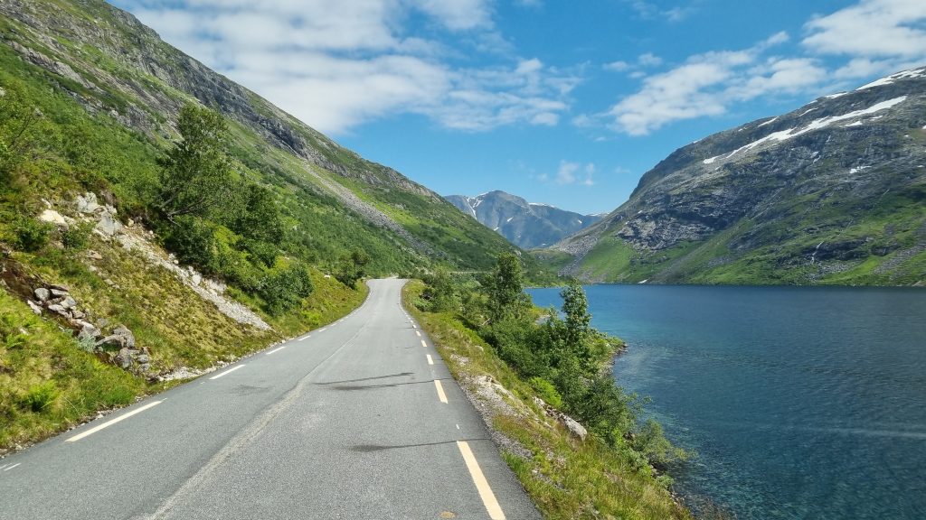
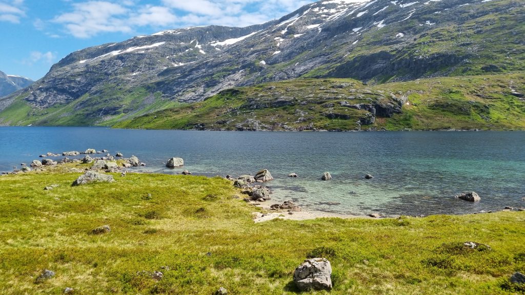
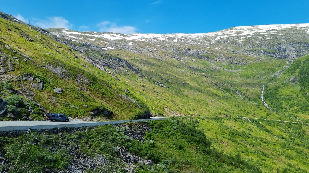
The higher we climbed, the bigger the views became. It was the first of July, and there were still patches of snow at the top. Summer down in the valley, the last traces of winter up here – that’s the Norwegian mountains for you.
The mountain section is long, rolling up and down across the plateau. The sun was out, the sky was blue, and Gaularfjellet showed itself from its very best side. We even found a tiny beach right by the road at Lake Nystølsvatnet – a little surprise this high up on the mountain.
Utsikten Viewpoint: Architecture on the Edge of the Mountain
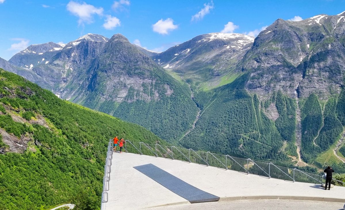
And then we came to Utsikten – “The View”. But this is not just a viewpoint. It is a piece of architecture worth the trip in itself.
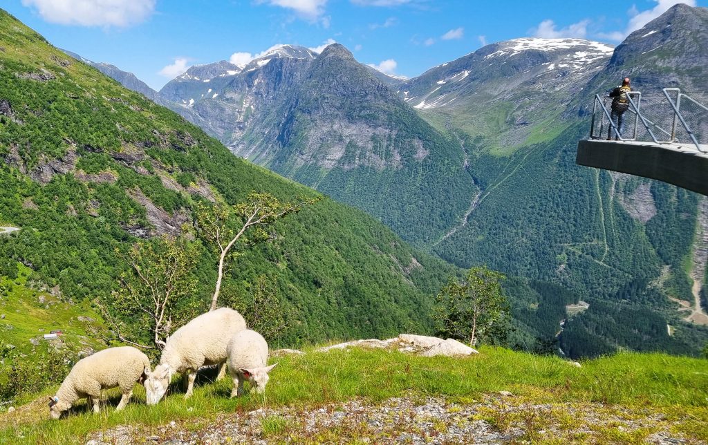
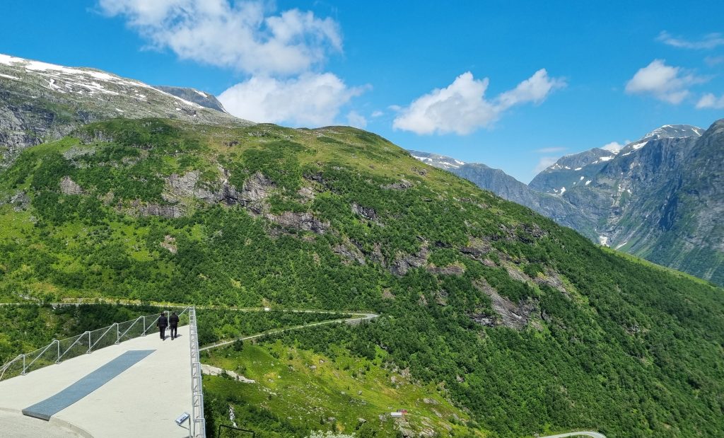
Right at the edge of the mountain, about 700 meters above sea level, lies a large triangular platform of concrete – only 80 centimeters thick. Its corners lift up and out like wings, as if the whole thing is about to take off over the valley. Designed by the Norwegian architects Code Arkitektur and opened in 2016, it has won several awards. Tucked into the raised corners, you will also find sheltered seating and toilets (open in summer). Even the toilets here are award-winning architecture – probably the best view you’ll ever have from a rest stop.
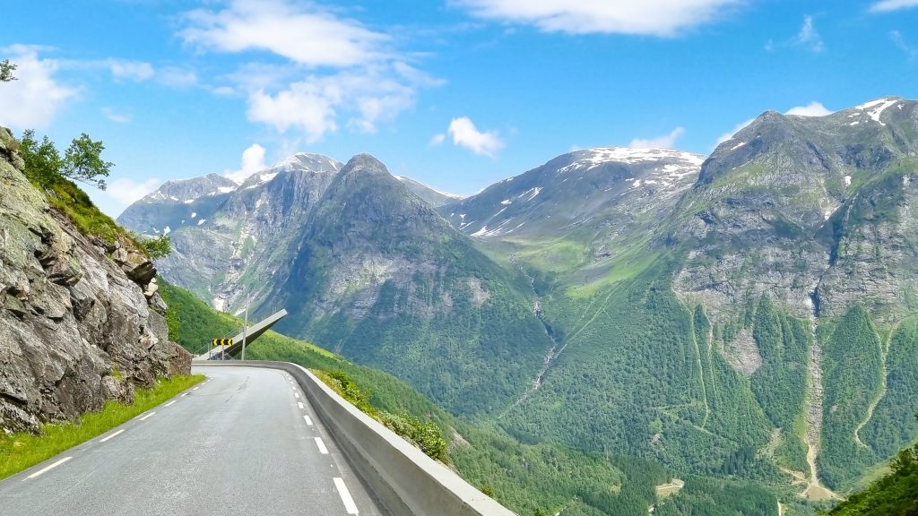
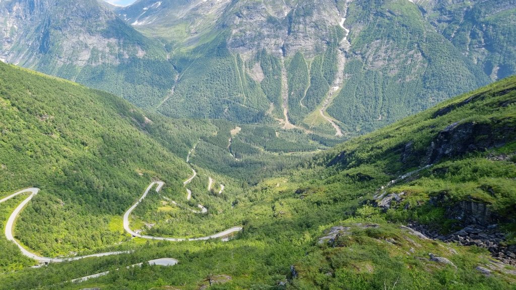
Walk from corner to corner, and each one gives you a different view. From one, you look straight down at the road twisting in tight bends towards the valley. From another, you look out over green slopes and steep mountains, and the valley that leads all the way down to the Sognefjord. It felt like standing on the edge of a postcard.
Take your time here. Walk out to every corner, look down, look out – and don’t rush back to the car.
The Descent to the Sognefjord
From Utsikten, the road plunges down the mountain in a series of hairpin bends. There is room to meet oncoming traffic, but we didn’t meet a single car on the way down. Just us, the bends and the view.
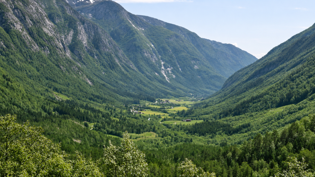
Not long before, we had been driving past snow. Now it is a short drive out through a deep valley, until you meet Vetlefjorden – an arm of the Sognefjord.
Where to Go Next: Three Options from Dragsvik
At Dragsvik, you have a choice. It’s not an easy one – but whichever you pick, you probably won’t regret it.
Take the Ferry to Hella and Drive Towards Sogndal
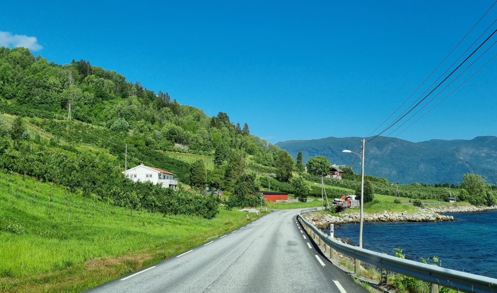
From Hella, the road follows the fjord towards Sogndal – narrow in places, but with great views all the way. Take it easy and enjoy the drive. Around Leikanger and Sogndal, fruit farms line the fjord – a lush contrast to the bare mountain you have just crossed.
Take the Ferry to Vangsnes and Cross Vikafjellet
From Vangsnes, you can continue over yet another mountain pass: Vikafjellet, which takes you south towards Voss or Gudvangen. Another great drive – from green valleys to wild mountains.
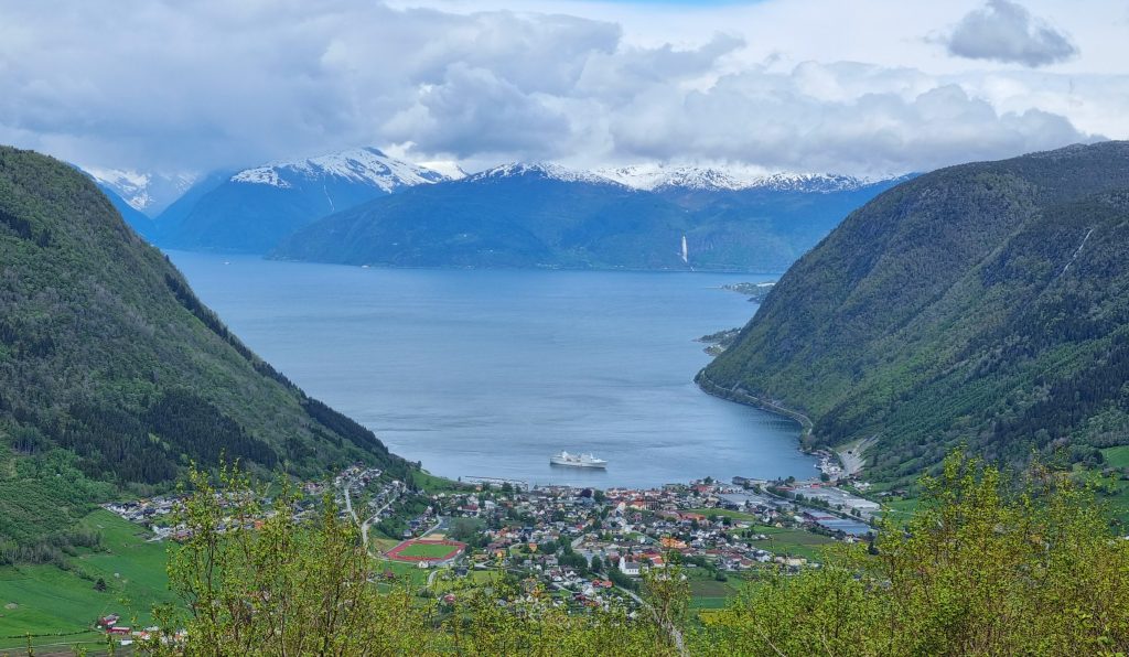
Visit Balestrand
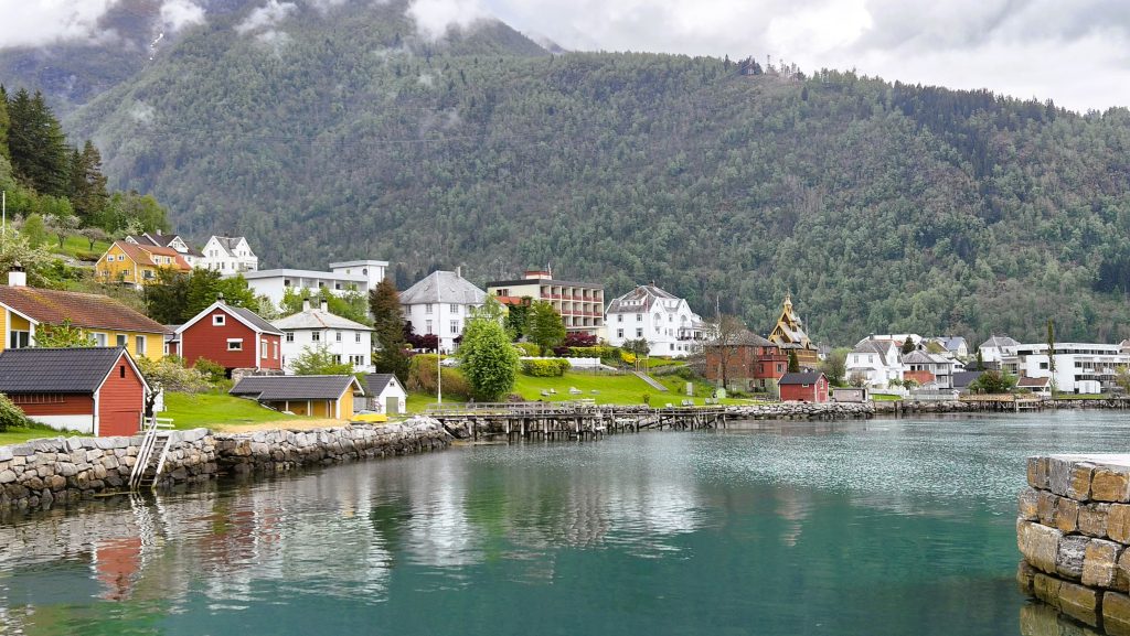
Or head west to Balestrand, an idyllic artists’ village by the Sognefjord, with magnificent scenery and a unique historic character.
Driving Gaularfjellet in a Motorhome
We drove Gaularfjellet in our small motorhome, and it was a pleasant drive all the way. The road is asphalted, with a few narrow sections. On the steep hairpin bends down to the fjord, use low gear and take your time to spare your brakes.
Practical Tips for Your Gaularfjellet Road Trip
- Season: The mountain section between Mel and Mjell is closed in winter. Opening and closing dates vary from year to year – check vegvesen.no before you go.
- Driving time: Allow at least 2 hours – with stops, it can easily take longer. The stops along the way, especially Utsikten, are what make this drive.
- Best time: Early summer, when the waterfalls are at their biggest and there is still snow on the mountain.
- Weather: It can be very different at the top than down by the fjord. Bring warm clothes.
- Fuel and supplies: You can fill up and shop in Jølster, Førde, Viksdalen, Hermansverk and Balestrand.
- Overnight: There are several campsites before, after and on the mountain. We have stayed at Kjørnes Camping near Sogndal several times – a lovely campsite with a view over the Sognefjord. Read my guide to wild camping in Norway for free options.
- Facilities: The toilets at Utsikten are closed in winter.
Useful Links
- National Scenic Routes – Gaularfjellet: nasjonaleturistveger.no/en/routes/gaularfjellet
- Road status: vegvesen.no/trafikk
- Weather: yr.no
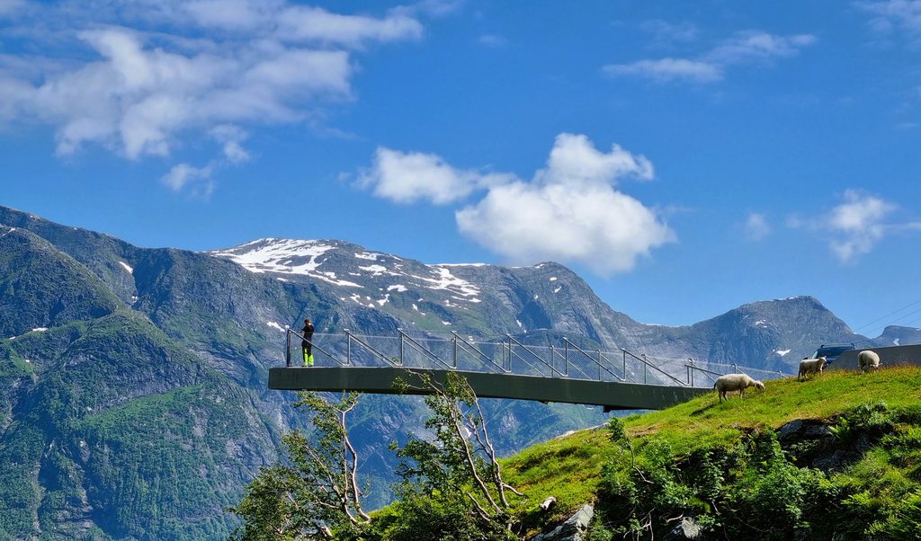
Combine Gaularfjellet with These Scenic Roads
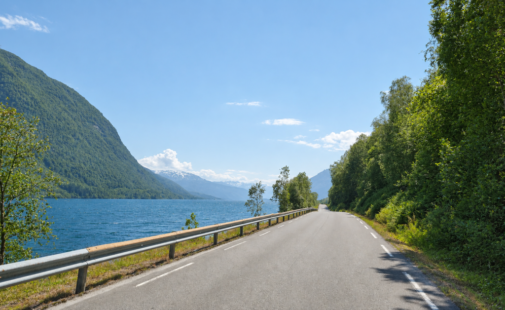
Frequently Asked Questions About Gaularfjellet
Is Gaularfjellet open in winter?
No. The mountain section between Mel and Mjell is closed in winter, usually from November or December until spring. The dates vary from year to year.
How long is the Gaularfjellet Scenic Route?
The whole Scenic Route is 114 km, including the branch between Sande and Eldalsosen. The main stretch from Moskog to Balestrand is about 84 km.
Can you drive Gaularfjellet with a motorhome?
Yes. The road is asphalted, with some narrow sections. The hairpin bends down to the Sognefjord are steep, so use low gear and drive slowly.
What is the best stop on Gaularfjellet?
The Utsikten viewpoint – an award-winning architectural platform on the edge of the mountain, with views down the hairpin bends towards the Sognefjord.
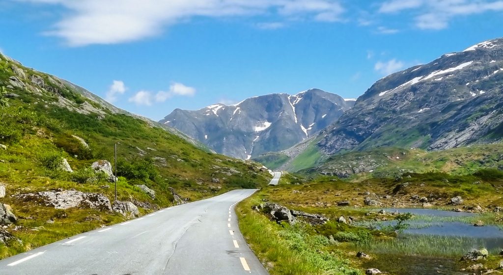
Norwegian Nature Never Disappoints – and Gaularfjellet Is No Exception
Gaularfjellet starts quietly. No dramatic views at first – just a beautiful, green landscape of farms and small villages. After driving so many mountain passes that take you straight up into the high mountains, we were actually a little disappointed for a moment. Not because the road wasn’t pretty, but because we expected to reach the bare mountain much sooner.
But once we were up on the plateau, every meter was worth it. And then there was Utsikten.
This is Norway at its most beautiful.
Warm greetings from the road – Anne Bente

Planning a trip to Norway?
Get my road trip tips by email
Scenic routes, easy hikes and practical advice – from someone who drives these roads herself.
No spam, just Norway. Unsubscribe any time. Privacy Policy